


Where is it Hamlets Other Villages Key Information Privacy and Security
There is a number of locally oriented FaceBook, and other social media groups, whose pages will provide up to the minute interaction and information with those in the immediate area.
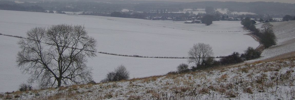
Where is it
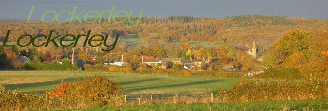
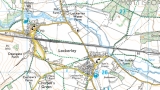 Lockerley is a village roughly equidistant - about 16 miles - from the three major cities of Winchester, Salisbury and Southampton. The nearest town is Romsey and this lies about 8km distant. Using WhatThreeWords - W3W - the location of the centre of Lockerley Green is <escapades laugh throats>. Many GPS map systems identify the location of Lockerley Green as OSGB SU 291 267 but this is the location of the old post office - now a private dwelling. The village is 37m above Newlyn 1936, GPS co-ordinates 51 02 35N 01 35 00W and the OS map reference is OSGB SU 291 267.
The 2021 census noted a population of 890 - about 0.1% of the population of SE England. This hints at ca 300 house holds of who 55% are female in an area of 6.2sqkm. The median age is 50 with 85% holding a passport. The summary reports for 2021 do not provide the same information "scrapes" as the 2001 census so comparison requires some further digging.
Hamlets
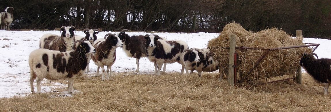
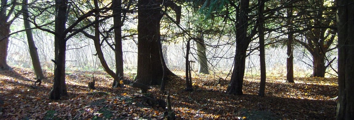
Lockerley itself comprises a number of smaller areas better acknowledged as hamlets such as Carters Clay, Newtorn, Holbury, Lockerley Green, Butts Green. Hamlets are so called because of the need to identify the amount of meat that the lord of the manor would permit to be cinusmed at seasonal festivities, A ham was a reference to a big pig and a hamlet was a small part of the animal. A hamlet, thus, was a collection of peasants who would have a right to a part of a pig that would be slaughtered. Pigs were very useful to small communities because of their ability to forage and to break up new land for agicultural use. As a consequence it is said that no part of a pig ever goes to waste even the ears would make a good purse and one probably more considerably more secure than one made of silk.
Other Villages
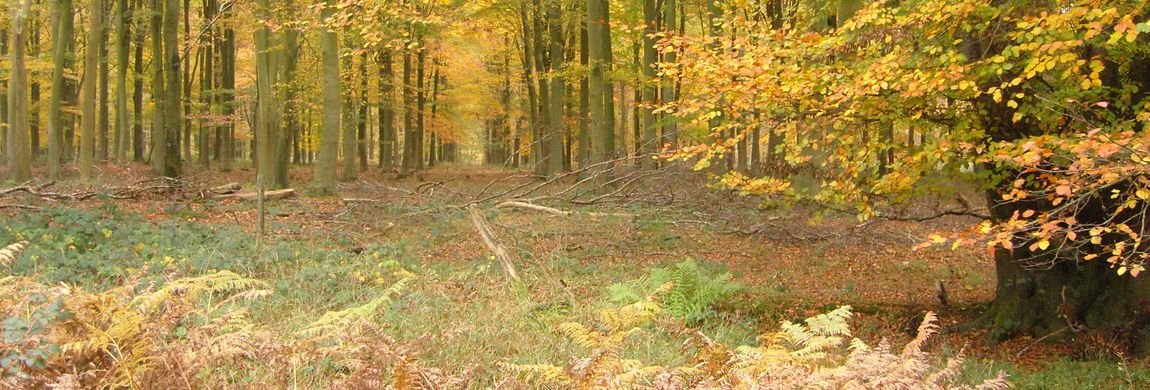
Lockerley, along with West Tytherley, East Dean, West Dean and the largely lost village of East Tytherley, are the main villages in the valley of the river Dun. Other local villages including Dunbridge, Kimbridge all owe their names to crossings over local rivers and tributaries of the river Test. Awbridge which is at the top of a hill owes its name to a corruption of abbott's ridge and this is a past reference to the presence of the ancient priory at Mottisfont (renamed for vanity sake in the 18th century as an abbey). Go to Top
Key Information
For life threatening emergencies dial 999.
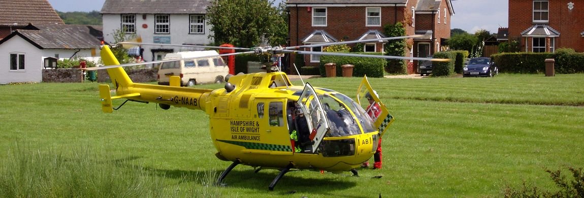
State your name and phone to contact, what the emergency is, what service is required, where you are. Be calm.  If you believe that the nature of the emergency is heart failure then, if possible, make use of the defibrillator. There are two defibrillators in the village.
One is located outside the village shop on Lockerley Green.
The other is located in the doorway of the village hall on Butts Green. The village hall is adjacent to the school.
Follow the advice given on the panel - call the emergency number to be provided with the code to unlock the cabinet. The classic process for recognising and then handling heart failure is:
FAST : Face is not moving,
Arms cannot be moved easily,
Speech is slurred and
Time is of the essence.
Symptoms of anaphylactic shock, choking and hypoglycaemic shock have similar appearances. Still call 999. If the sufferer is known to have an epipen then use it. First responders can use the Heimlich procedure on choking persons but still call 999.
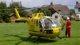 If there is a First Responder - find out more about Lockerley's First Responder team - team on duty they may be the first people to arrive. These are volunteers from the village. They undergo regular training but they are not paramedics. This may be followed by paramedic services, ambulance or, if required, the helicopter service.
For non-emergency medical issues call 110 - the NHS phone based help line. Go to Top
Police
Police contact in emergency, for example, car accident, burglary in process, violence in progress, helicopter crash - call 999. If it is not urgent then call 101; on the continent of Europe you would dial 112. The nearest police service building that operates 24/7 is in Andover. The Romsey police station in The Hundred is no longer operational.
Privacy and Security
This website gathers almost no individually identifiable information about its visitors. It does not use cookies. However it may be that the company that hosts this site or the company providing your browser or social networking app may apply such techniques. You can more read about some of these issues in this article.