


Before 1066
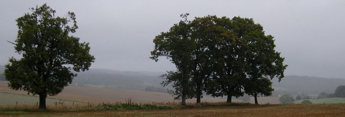
Lockerley has been known as a habitation since iron age times as earthworks in the area testify. Lockerley Camp – to the left on the road from Lockerley to Awbridge at Ordnance Survey reference SU 304 259 and approximately between Canefield and The School Farm – is a univallate nearly circular earthwork of 2.1ha, situated on a low gravel-capped plateau though it has been reduced by ploughing.
A keen eyed, and experienced archaeologist, will often find items such as a flint arrowhead when walking along the footpath between the Old Post Office and the railway bridge. Archaeological findings in the Lockerley area include some roman coins and pottery dating around AD 259-350 which were found in an earthwork near Holbury Farm known as Holbury Wood Camp. Palaeolithic artefacts have been recovered from gravel pits at nearby Dunbridge and Kimbridge.

The image in the head of this section shows a LIDAR map and resulting topological map that shows this well.
More recently it has become more clear just how busy the area has been since the last ice age receded. Recent use of LIDAR (light detection and ranging using laser illumination) has augmented the archeological record by showing evidence across the ages from palaeolithic activity. One feature noted in the small area that is covered by the scan shows the evidence of a pathway leading from the site of an early stone age settlement across Critchells Green.
More recent activity on the land is shown by evidence of the encampment of UK, Canadian and US army forces in 1944 and the outline of some 20km of railway sidings used in preparation for D Day. This last, though historically a recent event, has almost vanished from collective local remembrance but work to restore some understanding of this is currently in the hands of the Lockerley Mechanicals. Go to Top
After 1066
The Domesday Book of 1086 records three manors and one hide (a hide is an area of land approximately equal to 120 acres) as belonging to the Bishop of Winchester. The manors were held by an overlord who, in turn, leased them to an underlord; this is known as alod. Prior to the Norman invasion of 1066 someone called Star (Sterre) held the manor from Edward the Confessor (b ca 1003 and ruled 1042 till his death in January 1066) in what was called alod (a freehold not held by the sitting lord). We might suggest that this name lives on in the name of the Star Inn which is located between East Tytherley and Lockerley but there is no evidence for this.
Following the Norman conquest the lands came into the possession of Hugh de Port as part of his 55 manors in Hampshire (Hantscire). The Domesday Book entry records that the land of Hugh de Port was located in the Broughton (Brocton) hundred (a hundred being an area of land equal to 100 hides) and included a manor in Lockerley which Star held from King Edward in freehold as a manor. Then (1066) and now (1086) it paid tax for one hide, land for three plough and, in lordship, one plough, four small holders and four slaves with half a plough. A mill at 10s (a shilling is equivalent to 50 pence), meadow six acres and woodland at three pigs. Star also held one hide which was part of the king's forest. This latter reference possibly indicating the extent to which the New Forest was at that time established.
A second manor had been held by one Wulfric from King William (the conqueror) and his father apparently held it from King Edward (the confessor). Wulfric had inherited one hide from his father and this was located in East Tytherley. A third manor was held by one Alfwy who held it from the king and who, prior to 1066, held in alod (qv) from King Edward.
For greater accuracy and a better overall view it may be useful use tithe (aka tythe) maps to study the land ownership at this time over the area including Broughton, Mottisfont, East and West Dean, Lockerley, East and West Tytherley, Sherfield English. These maps are early surveys on behalf of the land owner that identify field boundaries, their useage and their area (approx 2.5Ha to an acre). The were used to set the tithe, tax or rent that the lease holder needed to return to the landowner.
If you're interested, you could start with some of the references which G Timmins provides - see collected references. Go to Top