

Basic Geology Farming Dark Ages Village Greens Transport 1066 and Beyond
Dean Hill Mills and Older Buildings Footpaths and Rights of Way The Village References
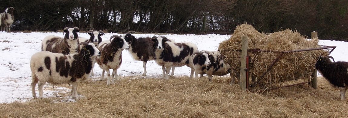
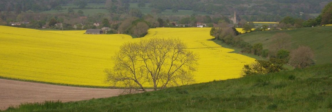
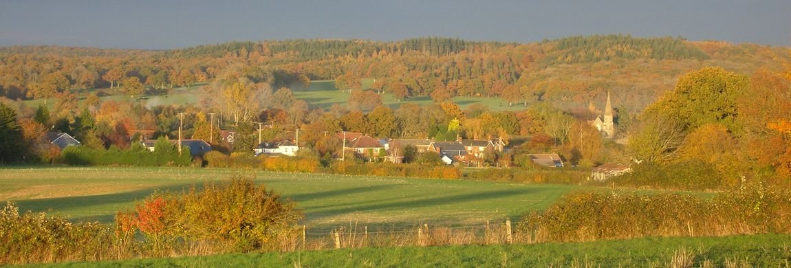
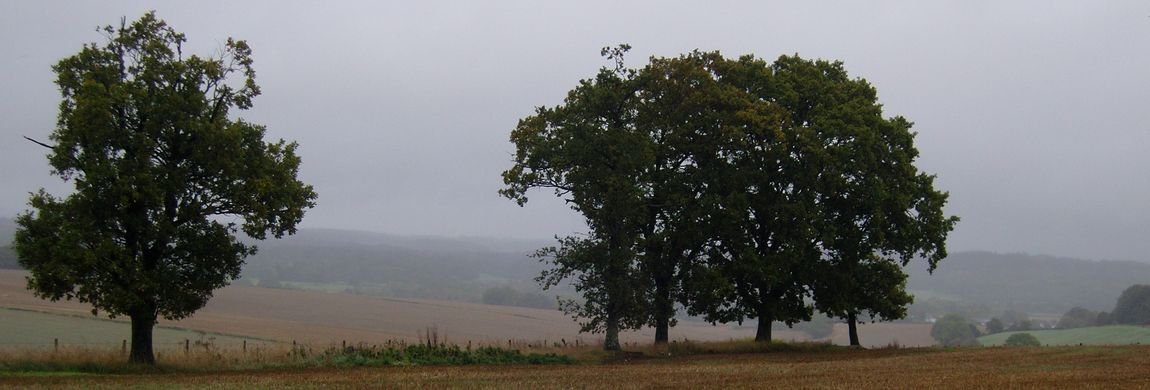
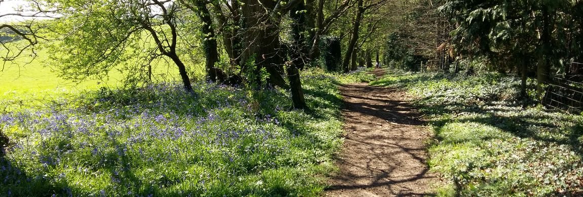
The history of Lockerley is like a gem with its many facets such as the geology, sociology, agriculture, surveys, population census and archaeology reports. Apparently keen eyed wanderers on the footpath that passes between the Old Post Office on Lockerley Green and the railway bridge have picked up flint arrow heads from the soil. We can start with maps and browse other topics.
Maps, both current OS and past maps, and their recent companions LIDAR maps, help to give a topological foundation for the area and perhaps this following suite of topics will fire up contributions that expand and correct the texts that follow (please identify your sources though). And, in appreciating an area there is nothing quite like the simplest technique - walking the patch. Happy rambling and happy reading. There is a short section of references set out but more would be appreciated. topology
To start the thinking here are two aerial views of the area. If you are keen to pick out features in the LIDAR scan here are some challenges to pick out.
Note Butts Green's triangular form. The railway line is clearly visible with the bridge and the footpath access towards Spearywell Wood beneath it. The church of St John. The river Dun, its flood plane and the straight lines which indicate initial work on the canal. The early earth work - looks like a backward C. The indication of a long lost track from the earth work towards Holbury crossing what is now known as Critchells Green; it goes approximately ENE. The evidence of the railway sidings installed as part of D Day preparations.
The other image comprises, on the same scale, a merged version of the height variation with a colour image of the same area. Butts Green's triangular shape is a little more easily discerned. And, apologies, at this time the image covers only lower half opf the LIDAR plot. North is up - as ever (not quite so with the LIDAR plot) - and the railway line should act as a guide if you try to line this up to an OS map. Then , if your interst is piqued, take some time out with the facility at the resouce provided by the National Library of Scotland. Return to Top
References
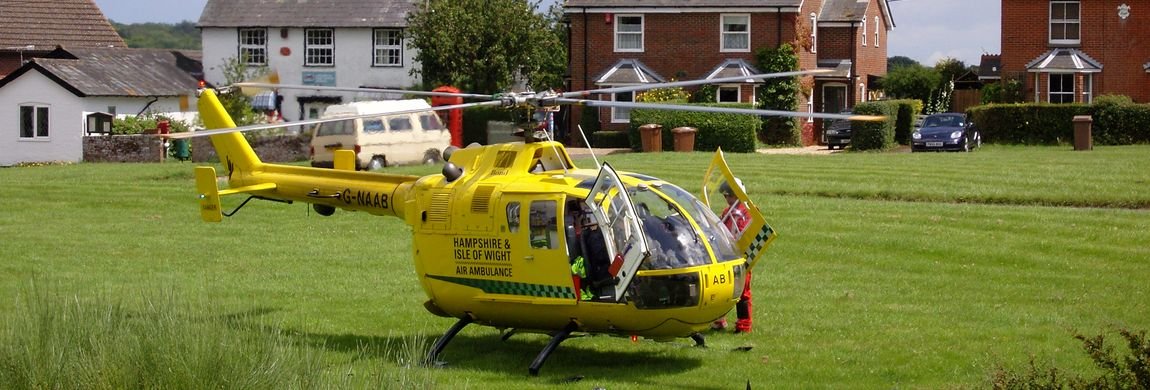
You might like to check out the Lockerley Old Mechanicals and make contact with our local history enthusiasts.
The Church of St Winfriþ, A Very Short Guide to a Very Long History, Kate Clark, 2010, locally published.
This list of references is taken from :
Lockerley a Village History, G Timmins, available in Romsey Library
Victoria County History of Hampshire vol 4 Ed W Page, 1911, pp500 - 502.
Concise Oxford Dictionary of Place Names 4th ed, Eckert , E K Wall, p302
Domesday Book, Phillimore, Ed J Morris
Hampshire Record Office, Winchester
The Hampshire Subsidiary Rolls 1586, C R Davey
The Hampshire Hearth Tax Assessment 1665, E Hughes and P White
Parson and Parish in 18th century Hampshire, W R Ward
Hampshire Treasury, Hampshire County Council
Register of William Edington Bishop of Winchester 1346 - 1366, Ed dom S F Hockey#
Rural Life in the Dun Valley 1066 - 1900, Margaret Baskerville, pub 2010 Margaret Baskerville SP5 1QD, ISBN 978-0-9566392-0-2 (available from Romsey Library). This is a well researched tome.