

History through maps, canals and rail
There is a range of early maps referring to Lockerley and one of the earliest is dating from 1575. And, in this regard you may be able to find a fascinating resource (compare maps from 1890 onwards to ground photos - National Librabry of Scotland Dual Maps) - don't ask why it's courtesy of the National Library of Scotland ... just rejoice.
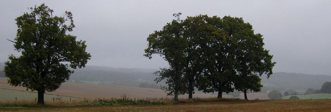
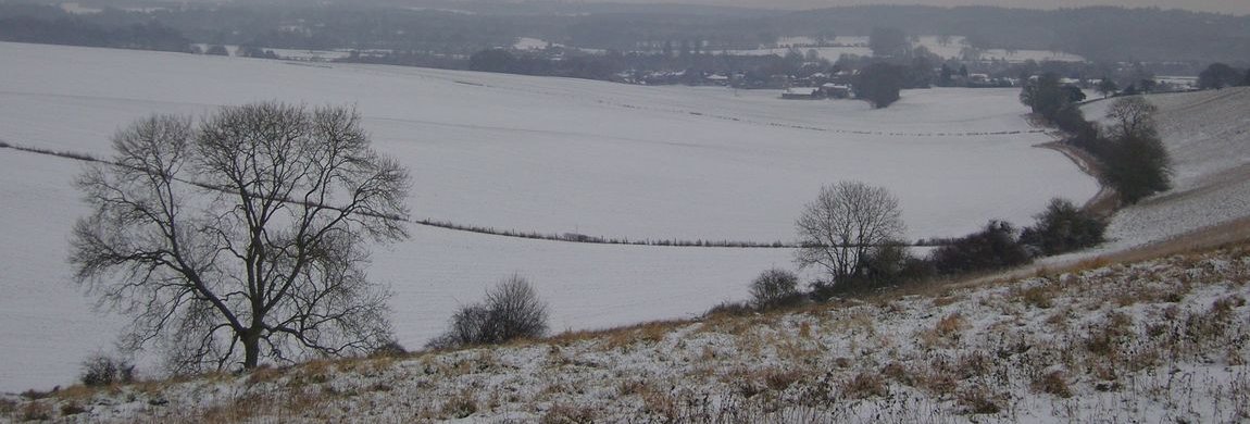
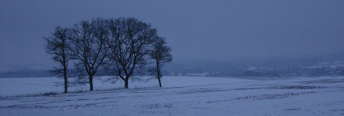
An early ordnance survey map of 1895 shows a number of public houses and wells as well as the path of the Southampton to Salisbury railway line. Compare these maps with the ground photos and see how buildings, roads and footpaths have changed. More than 100 years before the railway line was completed there was a business proposition - an investment opportunity - to create a canal between Southampton and Salisbury. Only limited work was undertaken on the canal project - it was begun in 1796 - and parts of this can still be seen running parallel to the river Dun.
The canal bridge at SU 269 268 was built in 1800 and the best preserved remains of the whole canal are those of the canal lock which can be found on the west side of the road from Lockerley Green to Holbury Wood. It comprises a brick wall some 10m long and 1.5m high it formed the south side of the lock. The bridge at Lockerley Mill over the river Dunn was built at the same time though this was rebuilt as a two span bridge in 1909. The canal would never be successful because, at its high point near Alderbury, there was no water source from which to feed the necessary locks as the underlying geology is gravel. This is the real reason why it was not finished - not the railway.
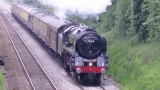 The railway line was completed around 1890 (this thumbnail is of the restored Flying Scotsman in 2016 passing Lockerley Bridge). There is a Flush Bracket on the foot of the bridge over the railway line connecting Lockerley Green to Top Green. This was placed in the second geodetic levelling 1912 - 1921 and was levelled at 123.970 feet (27.786m) above Newlyn. It can be seen from the south west corner of the bridge.
The railway line is the main line between Southampton and Salisbury and thence to the west country and Wales. It passes by Romsey, Dunbridge and West Dean stations. Lockerley was never blessed with its own station. The line is well used for goods traffic and, until recent times, was the primary supply line for the Royal Navy Armaments Depot situated in tunnels underneath the Dean Hill.